|
Lesson Title: Identify Tropical Zone and Rain Forest Locations
Unit Title: Save the Rain Forest
Grade: 2/3
Discipline: History and Social Sciences
Overview of Lesson: Students will locate rain forests on maps of the world and identify the countries that house rain forests
Standards: History and Social Sciences Grade 2 2.1
On a map of the world, locate North America, South America,
Europe, Asia, Africa, Australia, the Artic, Antarctica, the Atlantic and Pacific Oceans, and present boundaries of the United States, Canada, and Mexico.
Student Outcomes: Students will be expected to locate the tropical zone of the earth, and name countries where rain forests are growing.
Length of Lesson: two sessions about 45 minutes each
Instructional Mode: Whole class, small group, partner
Multiple Intelligences: Verbal-Linguistic, Logical-Mathematical, Interpersonal
Essential Questions: Are the rain forests of the world larger or smaller than they were 100 years ago?
Material / Resources Needed: wall maps of the world, blank geo-political world maps, globes, computers, colored pencils
Instructional Strategies: research and mapping
Activity or Procedure:
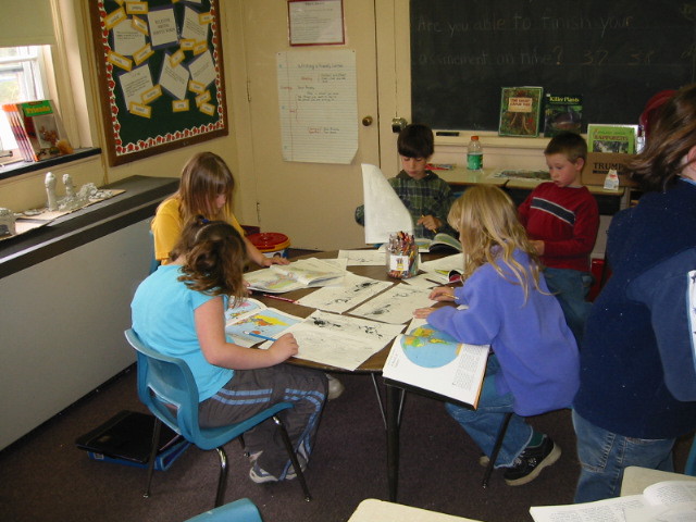
Session 1:Use the globe to demonstrate for the whole class the position of the earth with regards to its tilt towards the sun. Have three students hold string on the globe above the Tropic of Cancer, on the Equator and below the Tropic of Capricorn. Three other students hold the other end of the strings about ten feet away on a sun drawn on the chalkboard. The string from the Equator will be he shortest demonstrating that it is the part of the earth closest to the sun. Discuss what we know about tropical rain forests and the likelihood of their being in the tropical zone. Use a map of the world that highlights where the rain forests are and blank geo-political maps to identify the countries that house rain forests. Have students color in those countries.
Session 2: Have students do research on the Internet to discover the difference between the size of the rain forests of 100 years ago and today. They will fill in blank maps showing the rain forests of 100 years ago and the rain forests today.
Assessment: Check maps to see if they have been correctly labeled and filled in.
Evidence that Student Learning Occurred: Students will be able to explain why the tropical zone is the hottest part of the earth.
Technology Skills Required or Developed: NETS
1. Use input devices (e.g., mouse, keyboard, remote control) and output devices (e.g., monitor, printer) to successfully operate computers, VCRs, audiotapes, and other technologies.
2. Use a variety of media and technology resources for directed and independent learning activities.
3. Communicate about technology using developmentally appropriate and accurate terminology.
4. Work cooperatively and collaboratively with peers, family members, and others when using technology in the classroom.
5. Demonstrate positive social and ethical behaviors when using technology.
6. Practice responsible use of technology systems and software.
Author: C. William Dunsay
Author e-mail: cwmd@earthlink.net
District/Organization: Southern Berkshire Regional School District
Date: Apr. 1, 2002
|